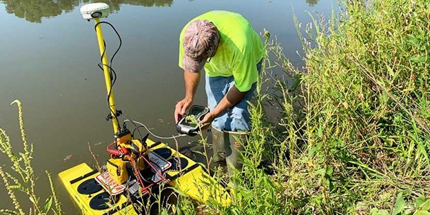
Surveying and Geomatics
Our professional land surveyors and GIS specialists understand the importance of delivering accurate field data to our design professionals. Further, our professionals utilize industry leading technologies to ensure that your project is completed accurately and efficiently. Our geomatics capabilities encompass private subdivisions, residences, and agricultural plots to large-scale infrastructure and building projects.


Unlock the Power of G.I.S.
For over 20 years, B&A has been a leader in GIS implementation, utilizing the technology across diverse projects for asset mapping, conditions assessment, and capital improvement planning. Our expertise empowers our clients to make informed, cost-effective infrastructure decisions.

Waynesville GIS Mapping

Sullivan Water GIS Mapping and Hydraulic Modeling

Dallas City Lead Service Line Inventory
Benton Land Surveying Services
- American Land Title Association (ALTA), boundary & topographical surveys
- Residential, commercial & industrial subdivisions
- Utility & Right-of-Way (ROW) easements
- Floodplain mapping
- Construction stakeout
- Estate surveys
- Global Positioning System (GPS)
- Geographic Information System (GIS)
- Mapping
- Annexation and Zoning Plats
- Permit Applications
- Site Plan Development
- Storm Drainage/Detention
- Conceptual Planning
- Land Use Planning
- Riverfront Planning
- Site Design Services
- Parking lots
- Convenience stores
- Fast food outlets
- Shopping centers
- Apartment complexes
- Schools/colleges/universities

Kenny Sturgeon, PLS
1970 Lafayette Avenue
Jacksonville, IL 62650
